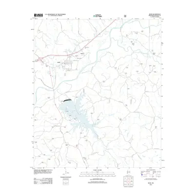
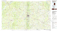
2012 Map of Bude
USGS Topo · Published 2012About this map
The Homochitto River winds through this southwestern Mississippi landscape, defining the topography of Franklin County as it flows past the town of Bude. This 2012 survey illustrates a diverse geography where industry and recreation meet, most notably at Okhissa Lake, a sprawling reservoir managed by the U.S. Forest Service. To the south, the Bude Oil Field and the Bude Lookout Tower underscore the region's historic reliance on natural resource management and extraction.
Find a feature on this map
70 named features on this map. Tap any name to fly to it.
Don’t see what you’re looking for? This feature index may not catch every label — zoom into the map to look around manually.
Map Details
Editions of this 2012 Bude Map
This is the sole edition of this map. No revisions or reprints were ever made.
Other maps of this area

1953 · Natchez
USGS Topo · 1:250,000

1956 · Natchez
USGS Topo · 1:250,000
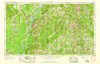
1959 · Natchez
USGS Topo · 1:250,000
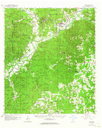
1962 · Bude
USGS Topo · 1:62,500
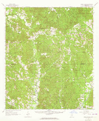
1963 · Union Church
USGS Topo · 1:62,500
1972 · Smithdale
USGS Topo · 1:24,000
1972 · McCall Creek
USGS Topo · 1:24,000
1972 · Little Springs
USGS Topo · 1:24,000
1984 · Brookhaven
USGS Topo · 1:100,000
1984 · McComb
USGS Topo · 1:100,000