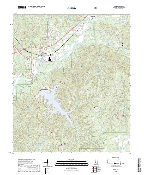
2024 Map of Bude
USGS Topo · Published 2024About this map
The town of Bude and the Homochitto River corridor define this landscape in Franklin County. This modern survey illustrates the dense network of rural roads and family-named cemeteries that characterize the region. Notable burial sites such as McDonald Cem, Walker Cem, and Hopewell Cem are scattered throughout the Homochitto National Forest, providing a detailed record for genealogists and local historians. To the south, the expansive Okhissa Lake is a prominent feature, fed by the Wobington Branch. Small settlements like Eddiceton and Monroe sit along the northern transport routes, including Old Hwy 84 and Railroad Ave. The distribution of spiritual landmarks like O'Zion Baptist Church and Byrds Chapel reflects the enduring community structure of this Mississippi timber and river country.
Find a feature on this map
76 named features on this map. Tap any name to fly to it.
Don’t see what you’re looking for? This feature index may not catch every label — zoom into the map to look around manually.
Map Details
Editions of this 2024 Bude Map
This is the sole edition of this map. No revisions or reprints were ever made.
Other maps of this area

1953 · Natchez
USGS Topo · 1:250,000

1956 · Natchez
USGS Topo · 1:250,000

1959 · Natchez
USGS Topo · 1:250,000

1962 · Bude
USGS Topo · 1:62,500

1963 · Union Church
USGS Topo · 1:62,500

1972 · Smithdale
USGS Topo · 1:24,000

1972 · McCall Creek
USGS Topo · 1:24,000

1972 · Little Springs
USGS Topo · 1:24,000

1984 · Brookhaven
USGS Topo · 1:100,000

1984 · McComb
USGS Topo · 1:100,000