Loading...
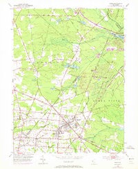
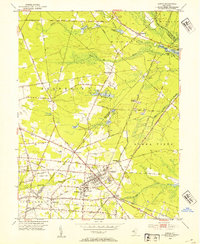
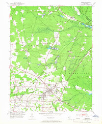
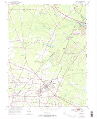
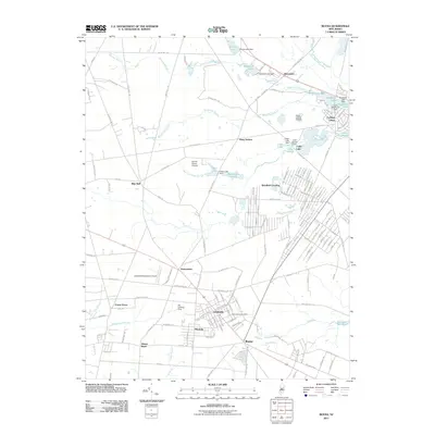
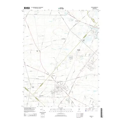
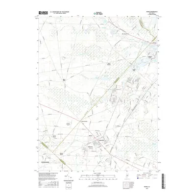
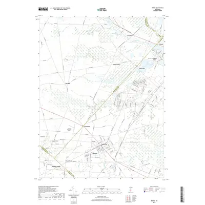
Loading map...1953 Map of Buena
USGS Topo · Published 1972About this map
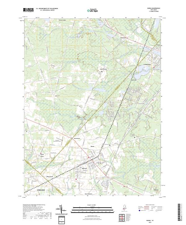
The Pennsylvania-Reading Seashore Lines and the Central Railroad of New Jersey intersect in the southern half of this South Jersey landscape, anchoring the development of Buena, Landisville, and Minotola. The map reveals a transition from these clustered railroad settlements to the agricultural and wetland expanses defined by Cranberry Bog and the Great Egg Harbor River. Local institutions such as the St Michaels Ch, Cleary Sch, and St Marys Cem mark the community centers of the early 1950s.
Find a feature on this map
80 named features on this map. Tap any name to fly to it.
Don’t see what you’re looking for? This feature index may not catch every label — zoom into the map to look around manually.
Map Details
Date Portrayed1953
Date Published1972
PublisherU.S. Geological Survey
Map TypeTopographic
Scale1:24,000
Physical Dimensions22 x 26.8 inches
Editions of this 1953 Buena Map
4 editions found
Historical Maps of Vineland Through Time
6 maps found
Featured Locations
- Buena Vista Township, NJ
- Vineland, NJ
- Monroe Township, NJ
- Winslow Township, NJ
- Buena, Buena Vista Township
Source Details
SourceU.S. Geological Survey
CopyrightPublic Domain