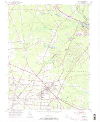
1953 Map of Buena
USGS Topo · Published 1972About this map
The railroad junction of Buena and Landisville serves as the focal point of this South Jersey landscape, where the Pennsylvania-Reading Seashore Lines intersect with the Central Railroad of New Jersey. This mid-century survey illustrates a transition from the agricultural wetlands of Cranberry Bogs to the growing residential footprints of Minotola and Wheat Road. The presence of St Michaels Ch, St Marys Cem, and Cleary Sch highlights the established community infrastructure serving local families and farmers.
Find a feature on this map
67 named features on this map. Tap any name to fly to it.
Don’t see what you’re looking for? This feature index may not catch every label — zoom into the map to look around manually.
Map Details
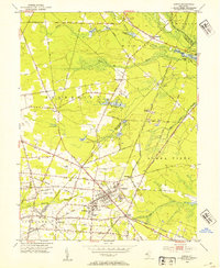
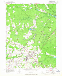
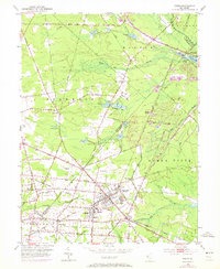
Editions of this 1953 Buena Map
4 editions found
Other maps of this area

1890 · Hammonton
USGS Topo · 1:62,500

1890 · Tuckahoe
USGS Topo · 1:62,500

1890 · Bridgeton
USGS Topo · 1:62,500

1890 · Glassboro
USGS Topo · 1:62,500

1893 · Tuckahoe
USGS Topo · 1:62,500

1894 · Hammonton
USGS Topo · 1:62,500

1894 · Bridgeton
USGS Topo · 1:62,500

1898 · Glassboro
USGS Topo · 1:62,500

1898 · Hammonton
USGS Topo · 1:62,500

1899 · Vineland
USGS Topo · 1:125,000
Featured Places
- Vineland, NJ
- Winslow Township, NJ
- Monroe Township, NJ
- Buena Vista Township, NJ
- Buena, Buena Vista Township