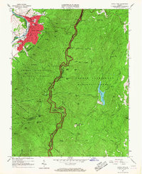
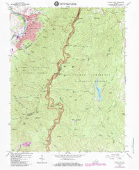
1965 Map of Buena Vista
USGS Topo · Published 1967About this map
Buena Vista serves as the industrial and educational anchor of this mid-1960s survey, situated where the Chesapeake and Ohio and Norfolk and Western railroads converge along the Maury River. The city’s core is densely plotted, featuring McCluer High Sch and the campus of Southern Seminary Jr College, while the surrounding landscape rises sharply into the George Washington National Forest. To the east, the Blue Ridge Parkway snakes along the high ridges of the Blue Ridge Mountains, providing access to scenic vistas such as the House Mountains Overlook and Rice Mtn Overlook.
Find a feature on this map
93 named features on this map. Tap any name to fly to it.
Don’t see what you’re looking for? This feature index may not catch every label — zoom into the map to look around manually.
Map Details
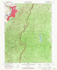
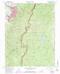
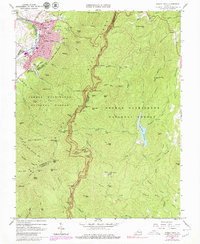
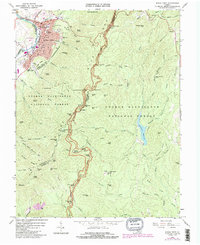
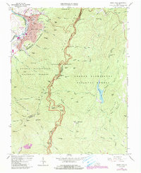
Editions of this 1965 Buena Vista Map
7 editions found
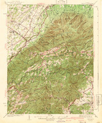
Other maps of this area

1894 · Lexington
USGS Topo · 1:125,000

1932 · Lexington
USGS Topo · 1:48,000

1935 · Buena Vista
USGS Topo · 1:48,000

1935 · Amherst
USGS Topo · 1:48,000

1936 · Vesuvius
USGS Topo · 1:48,000

1937 · Lexington
USGS Topo · 1:62,500

1939 · Amherst
USGS Topo · 1:62,500

1939 · Buena Vista
USGS Topo · 1:62,500

1940 · Buena Vista
USGS Topo · 1:62,500
1941 · Vesuvius
USGS Topo · 1:62,500