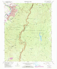
1965 Map of Buena Vista
USGS Topo · Published 1991About this map
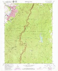
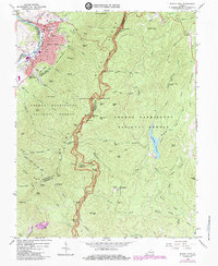
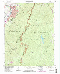
Buena Vista serves as the industrial and educational anchor of this mid-1960s landscape, situated along the Maury River and the dual lines of the Chesapeake and Ohio and Norfolk and Western railroads. The town's layout includes landmarks like Southern Seminary Jr College and McCluer High Sch, while Glen Maury Park offers a transition from the urban grid to the rising ridges. Moving eastward, the terrain transitions into the George Washington National Forest, where the Blue Ridge Parkway winds along the heights, punctuated by numerous overlooks such as House Mountains Overlook and Rice Mtn Overlook. The map captures a high-elevation environment where industrial infrastructure like the pipeline and various mines meets the natural preservation of the Appalachian Trail, which snakes through the interior near Punchbowl Mtn and Bluff Mtn.
Find a feature on this map
107 named features on this map. Tap any name to fly to it.
Don’t see what you’re looking for? This feature index may not catch every label — zoom into the map to look around manually.
Map Details
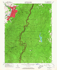
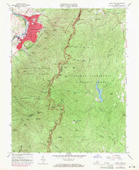
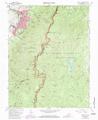
Editions of this 1965 Buena Vista Map
7 editions found
Other maps of this area

1894 · Lexington
USGS Topo · 1:125,000

1932 · Lexington
USGS Topo · 1:48,000

1935 · Buena Vista
USGS Topo · 1:48,000

1935 · Amherst
USGS Topo · 1:48,000

1936 · Vesuvius
USGS Topo · 1:48,000

1937 · Lexington
USGS Topo · 1:62,500

1939 · Amherst
USGS Topo · 1:62,500

1939 · Buena Vista
USGS Topo · 1:62,500

1940 · Buena Vista
USGS Topo · 1:62,500

1941 · Vesuvius
USGS Topo · 1:62,500