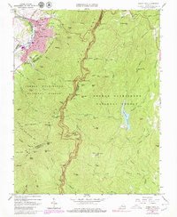
1965 Map of Buena Vista
USGS Topo · Published 1979About this map
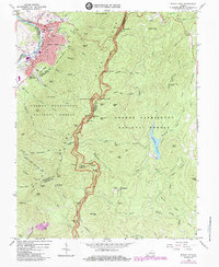
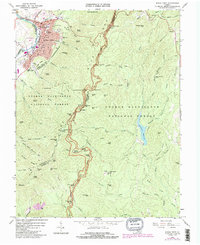
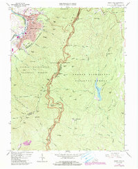
Buena Vista serves as the industrial and civic anchor of this landscape, situated along the Maury River and the transit corridors of the Chesapeake and Ohio and Norfolk and Western railroads. The town's mid-century character is defined by established institutions like Southern Seminary Jr College, McCluer High Sch, and the County Courthouse. Beyond the city limits, the terrain transitions sharply into the George Washington National Forest, where the Blue Ridge Parkway snakes along the ridgeline, punctuated by scenic overlooks such as White Oak Flats Overlook. The wilderness is marked by early infrastructure and trail systems, including the Appalachian Trail and the Aqueduct that services the area. Small rural clusters like Oronoco and Beverlytown are situated near the Pedlar River and Lynchburg Reservoir, offering a glimpse into the remote settlements and family cemeteries, such as Roberts Cem, that predate the area's modern forest management.
Find a feature on this map
100 named features on this map. Tap any name to fly to it.
Don’t see what you’re looking for? This feature index may not catch every label — zoom into the map to look around manually.
Map Details
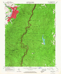
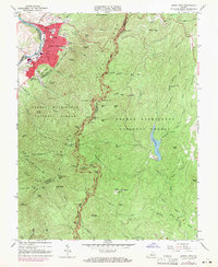
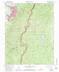
Editions of this 1965 Buena Vista Map
7 editions found
Other maps of this area

1894 · Lexington
USGS Topo · 1:125,000

1932 · Lexington
USGS Topo · 1:48,000

1935 · Buena Vista
USGS Topo · 1:48,000

1935 · Amherst
USGS Topo · 1:48,000

1936 · Vesuvius
USGS Topo · 1:48,000

1937 · Lexington
USGS Topo · 1:62,500

1939 · Amherst
USGS Topo · 1:62,500

1939 · Buena Vista
USGS Topo · 1:62,500

1940 · Buena Vista
USGS Topo · 1:62,500

1941 · Vesuvius
USGS Topo · 1:62,500