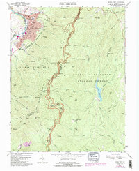
1965 Map of Buena Vista
USGS Topo · Published 1991About this map
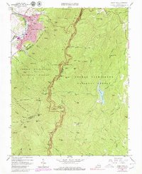
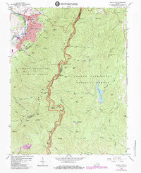
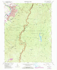
Buena Vista anchors the western edge of this survey, where the Chesapeake and Ohio and Norfolk and Western railroads converge along the Maury River. The city is a hub of mid-century infrastructure, featuring Southern Seminary Jr College, McCluer High Sch, and the Enderly Heights Sch. To the east, the landscape transitions into the high ridges of the George Washington National Forest, where the Blue Ridge Parkway and Appalachian Trail track along the crests of Moore Mtn and Bluff Mtn.
Find a feature on this map
97 named features on this map. Tap any name to fly to it.
Don’t see what you’re looking for? This feature index may not catch every label — zoom into the map to look around manually.
Map Details
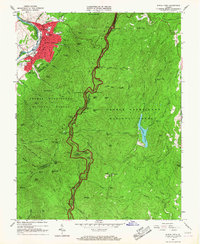
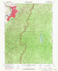
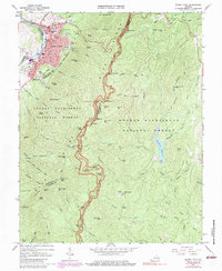
Editions of this 1965 Buena Vista Map
7 editions found
Other maps of this area

1894 · Lexington
USGS Topo · 1:125,000

1932 · Lexington
USGS Topo · 1:48,000

1935 · Buena Vista
USGS Topo · 1:48,000

1935 · Amherst
USGS Topo · 1:48,000

1936 · Vesuvius
USGS Topo · 1:48,000

1937 · Lexington
USGS Topo · 1:62,500

1939 · Amherst
USGS Topo · 1:62,500

1939 · Buena Vista
USGS Topo · 1:62,500

1940 · Buena Vista
USGS Topo · 1:62,500

1941 · Vesuvius
USGS Topo · 1:62,500