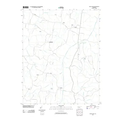
2010 Map of Buena Vista
USGS Topo · Published 2010About this map
The Big Sandy River meanders through this portion of Carroll County, defining a landscape of agricultural drainage and rural community hubs. The settlement of Smyrna sits centrally, surrounded by a network of family-named landmarks and historical burial grounds that offer significant value for genealogical research. Prominent local sites include the Buena Vista Post Office and Westport Post Office, which served as vital communication points for the surrounding farmsteads.
Find a feature on this map
71 named features on this map. Tap any name to fly to it.
Don’t see what you’re looking for? This feature index may not catch every label — zoom into the map to look around manually.
Map Details
Editions of this 2010 Buena Vista Map
This is the sole edition of this map. No revisions or reprints were ever made.
Other maps of this area

1936 · Clarksburg
USGS Topo · 1:24,000

1936 · Yuma
USGS Topo · 1:24,000

1936 · Seventeen Creek
USGS Topo · 1:24,000

1936 · Vale
USGS Topo · 1:24,000

1936 · Center Ridge
USGS Topo · 1:24,000

1936 · Bruceton
USGS Topo · 1:24,000

1936 · Cavvia
USGS Topo · 1:24,000

1936 · Buena Vista
USGS Topo · 1:24,000

1950 · Yuma
USGS Topo · 1:24,000

1950 · Palmer Shelter
USGS Topo · 1:24,000