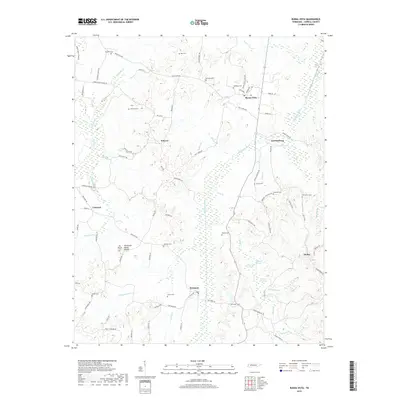
2019 Map of Buena Vista
USGS Topo · Published 2019About this map
The Big Sandy River and its accompanying wetlands, such as Brittford Swamp and Robinson Swamp, define the topography of this Carroll County landscape. This region of West Tennessee is characterized by its numerous small settlements and family-named cemeteries, including Humbles Cem, Cawthon Cem, and McCallie Cem, which offer significant value for genealogical research. The Tennessee Valley Divide passes through the southern portion of the area, separating the drainage systems of Little Bacon Cr and Hawkins Cr. Local centers of community like Buena Vista, Westport, and Smyrna are connected by a network of rural routes, including Buena Vista Rd and Westport Rd. Farther east, the small settlement of Dollar sits near the headwaters of Maple Cr, illustrating the dispersed residential patterns typical of this era in rural Tennessee.
Find a feature on this map
89 named features on this map. Tap any name to fly to it.
Don’t see what you’re looking for? This feature index may not catch every label — zoom into the map to look around manually.
Map Details
Editions of this 2019 Buena Vista Map
This is the sole edition of this map. No revisions or reprints were ever made.
Other maps of this area

1936 · Clarksburg
USGS Topo · 1:24,000

1936 · Yuma
USGS Topo · 1:24,000

1936 · Seventeen Creek
USGS Topo · 1:24,000

1936 · Vale
USGS Topo · 1:24,000

1936 · Center Ridge
USGS Topo · 1:24,000

1936 · Bruceton
USGS Topo · 1:24,000

1936 · Cavvia
USGS Topo · 1:24,000

1936 · Buena Vista
USGS Topo · 1:24,000

1950 · Yuma
USGS Topo · 1:24,000

1950 · Palmer Shelter
USGS Topo · 1:24,000