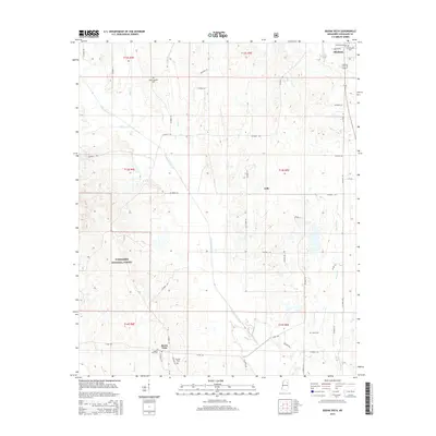
2015 Map of Buena Vista
USGS Topo · Published 2015About this map
Okolona and the surrounding prairie and woodland of Chickasaw County are detailed in this survey, which highlights the intersection of agricultural land and the Tombigbee National Forest. The landscape is defined by a dense network of watercourses, most notably the meandering path of Chuquatonchee Cr and its tributaries like Cane Cr and Dicks Cr. In the northern reach, the map identifies the Confederate Cem and Citizens Cem, providing specific points of interest for genealogists and local historians tracking family sites near the township boundaries.
Find a feature on this map
58 named features on this map. Tap any name to fly to it.
Don’t see what you’re looking for? This feature index may not catch every label — zoom into the map to look around manually.
Map Details
Editions of this 2015 Buena Vista Map
This is the sole edition of this map. No revisions or reprints were ever made.
Other maps of this area

1953 · West Point
USGS Topo · 1:250,000

1956 · Tupelo
USGS Topo · 1:250,000

1958 · Tupelo
USGS Topo · 1:250,000

1958 · West Point
USGS Topo · 1:250,000

1959 · Van Vleet
USGS Topo · 1:62,500

1963 · West Point
USGS Topo · 1:250,000

1965 · Egypt
USGS Topo · 1:24,000

1966 · Shannon
USGS Topo · 1:24,000

1966 · Prairie
USGS Topo · 1:24,000

1966 · Troy SE
USGS Topo · 1:24,000