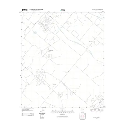
2012 Map of Buena Vista
USGS Topo · Published 2012About this map
Oil production and agricultural water management define this Pecos County landscape in the early 21st century. The map centered on Buena Vista illustrates the intensive industrial development of West Texas, dominated by the expansive Lehn-Apco North Oil Field, Pecos Shearer Oil Field, and the southern Masterson Oil Field. This extraction infrastructure is intertwined with a legacy of irrigation, as seen in the linear paths of Imperial Canal Number Five and Imperial Canal Number Three.
Find a feature on this map
18 named features on this map. Tap any name to fly to it.
Don’t see what you’re looking for? This feature index may not catch every label — zoom into the map to look around manually.
Map Details
Editions of this 2012 Buena Vista Map
This is the sole edition of this map. No revisions or reprints were ever made.
Other maps of this area

1954 · Pecos
USGS Topo · 1:250,000

1957 · Pecos
USGS Topo · 1:250,000

1969 · Grandfalls
USGS Topo · 1:24,000
1972 · Buena Vista NE
USGS Topo · 1:24,000
1972 · Buena Vista SW
USGS Topo · 1:24,000
1972 · Owego
USGS Topo · 1:24,000
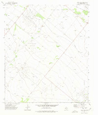
1972 · Buena Vista
USGS Topo · 1:24,000

1974 · Juan Cordona Lake
USGS Topo · 1:24,000
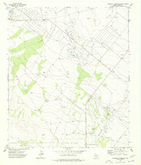
1974 · Diamond Y Spring NE
USGS Topo · 1:24,000
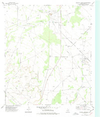
1974 · Diamond Y Spring SE
USGS Topo · 1:24,000