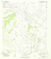
1974 Map of Diamond Y Spring NE
USGS Topo · Published 1977About this map
Industrial infrastructure dominates this landscape in Pecos County during the mid-1970s, where extensive extraction networks are etched into the terrain. The northern territory is defined by the Jamison Pollard Oil Field, while the Pecos Valley Oil Field and Chicklynn Oil Field occupy the central and southern reaches. This era represents a period of intensive energy development, evidenced by a dense grid of Drill Holes, Oil Wells, and a complex web of Pipeline corridors connecting remote wellheads to centralized processing facilities like the Aerogas plant and various Pumping Sta locations. Beyond the petroleum works, the presence of Landing Strips and local water features like Blair Lake and the winding Diamond Draw provide navigational and natural anchors in an otherwise heavily modified western Texas landscape.
Find a feature on this map
18 named features on this map. Tap any name to fly to it.
Don’t see what you’re looking for? This feature index may not catch every label — zoom into the map to look around manually.
Map Details
Editions of this 1974 Diamond Y Spring NE Map
This is the sole edition of this map. No revisions or reprints were ever made.
Other maps of this area

1954 · Pecos
USGS Topo · 1:250,000

1957 · Pecos
USGS Topo · 1:250,000

1969 · Grandfalls
USGS Topo · 1:24,000
1972 · Buena Vista SW
USGS Topo · 1:24,000
1972 · Buena Vista
USGS Topo · 1:24,000
1974 · Diamond Y Spring SE
USGS Topo · 1:24,000
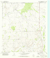
1974 · Diamond Y Spring
USGS Topo · 1:24,000
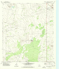
1974 · Diamond Y Spring NW
USGS Topo · 1:24,000
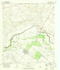
1974 · Imperial
USGS Topo · 1:24,000
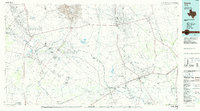
1986 · Crane
USGS Topo · 1:100,000