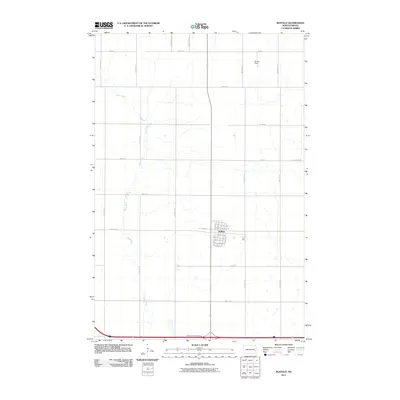
2011 Map of Buffalo
USGS Topo · Published 2011About this map
Buffalo serves as the primary settlement on this eastern North Dakota landscape, organized around a traditional grid of streets including Main St and Bond St S. The town is situated just north of the Buffalo-Alice Interchange, which connects the local community to the regional highway system. The surrounding rural area is defined by the winding course of the Maple River, which meanders from the northwest down through the center of the sheet, creating a natural break in the otherwise rigid section-line road network.
Find a feature on this map
34 named features on this map. Tap any name to fly to it.
Don’t see what you’re looking for? This feature index may not catch every label — zoom into the map to look around manually.
Map Details
Editions of this 2011 Buffalo Map
This is the sole edition of this map. No revisions or reprints were ever made.
Other maps of this area

1895 · Casselton
USGS Topo · 1:125,000

1897 · Tower
USGS Topo · 1:125,000

1897 · Casselton
USGS Topo · 1:125,000

1952 · Grand Forks
USGS Topo · 1:250,000

1953 · Fargo
USGS Topo · 1:250,000

1956 · Fargo
USGS Topo · 1:250,000

1956 · Grand Forks
USGS Topo · 1:250,000

1965 · Alice
USGS Topo · 1:24,000

1965 · Tower City SW
USGS Topo · 1:24,000

1966 · Grand Forks
USGS Topo · 1:250,000