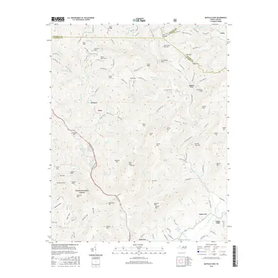
2016 Map of Buffalo Cove
USGS Topo · Published 2016About this map
The Yadkin River carves a deep path through this section of the Blue Ridge foothills, anchoring a landscape defined by sharp ridges and isolated mountain coves. In the southern reaches, the valley floor opens to support the settlements of Patterson, Happy Valley, and Yadkin Valley, where the river's course historically dictated the pace of agriculture and travel. This 2016 survey illustrates the persistent rural character of Caldwell County, with small communities like Legerwood and Finley situated along the winding roads that trace the water gaps.
Find a feature on this map
159 named features on this map. Tap any name to fly to it.
Don’t see what you’re looking for? This feature index may not catch every label — zoom into the map to look around manually.
Map Details
Editions of this 2016 Buffalo Cove Map
This is the sole edition of this map. No revisions or reprints were ever made.
Other maps of this area

1889 · Wilkesboro
USGS Topo · 1:125,000

1891 · Wilkesboro
USGS Topo · 1:125,000

1893 · Cranberry
USGS Topo · 1:125,000

1895 · Hickory
USGS Topo · 1:125,000

1895 · Cranberry
USGS Topo · 1:125,000

1899 · Cranberry
USGS Topo · 1:125,000

1902 · Cranberry
USGS Topo · 1:125,000

1905 · Morganton
USGS Topo · 1:125,000

1934 · Boone
USGS Topo · 1:24,000

1936 · Blowing Rock
USGS Topo · 1:48,000