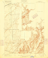
1916 Map of Buffalo Creek
USGS Topo · Published 1916About this map
The land grant legacy of the Omochumnes and the Rio De Los Americanos dominates this early twentieth-century survey of eastern Sacramento County. The landscape reflects a transition from Spanish-era ranchos to a developing rural infrastructure, characterized by the emerging network of the Sacramento and Jackson Road and the northern presence of the Placerville RR. This 1916 edition identifies localized landmarks essential for genealogical research, such as the Highland School, situated in a region of low hills and creek drainages. The detailed topography follows the winding courses of Deer Creek and Carson Creek, providing a record of the terrain before the mid-century expansion of local agricultural and suburban systems changed the character of these historic ranching lands.
Find a feature on this map
7 named features on this map. Tap any name to fly to it.
Don’t see what you’re looking for? This feature index may not catch every label — zoom into the map to look around manually.
Map Details
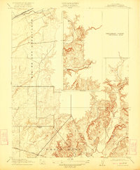
Editions of this 1916 Buffalo Creek Map
2 editions found
Other maps of this area

1891 · Sacramento
USGS Topo · 1:125,000

1892 · Sacramento
USGS Topo · 1:125,000

1893 · Sacramento
USGS Topo · 1:125,000

1894 · Lodi
USGS Topo · 1:125,000

1902 · Fairoaks
USGS Topo · 1:62,500

1908 · Buffalo Creek
USGS Topo · 1:31,680

1909 · Elk Grove
USGS Topo · 1:31,680

1909 · Carbondale
USGS Topo · 1:31,680

1909 · Cosumnes
USGS Topo · 1:31,680

1911 · Mills
USGS Topo · 1:31,680