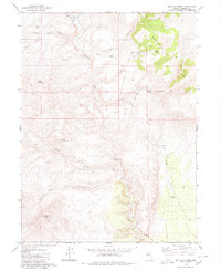
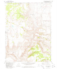
1980 Map of Buffalo Creek
USGS Topo · Published 1980About this map
Buffalo Meadows Ranch stands as a focal point of human activity in this arid Nevada landscape, positioned near the northern boundary where the West North Fk and Buffalo Creek emerge from the high desert terrain. The map reveals a land defined by water scarcity and cattle ranching, marked by scattered water sources like Tule Spring, Cow Spring, and the Buffalo Well. A network of simple transportation routes, including the Tule Road and various unnamed Jeep Trails, connect these remote outposts and meadows.
Find a feature on this map
27 named features on this map. Tap any name to fly to it.
Don’t see what you’re looking for? This feature index may not catch every label — zoom into the map to look around manually.
Map Details
Editions of this 1980 Buffalo Creek Map
This is the sole edition of this map. No revisions or reprints were ever made.
Other maps of this area

1886 · Granite Range
USGS Topo · 1:250,000

1894 · Granite Range
USGS Topo · 1:250,000

1955 · Lovelock
USGS Topo · 1:250,000

1959 · Lovelock
USGS Topo · 1:250,000

1980 · Salt Marsh
USGS Topo · 1:24,000
1980 · Mixie Flat
USGS Topo · 1:24,000
1980 · Hole In The Ground
USGS Topo · 1:24,000

1980 · Hog Spring
USGS Topo · 1:24,000
1980 · Smoke Creek Ranch
USGS Topo · 1:24,000
1981 · Eddies Garden
USGS Topo · 1:24,000