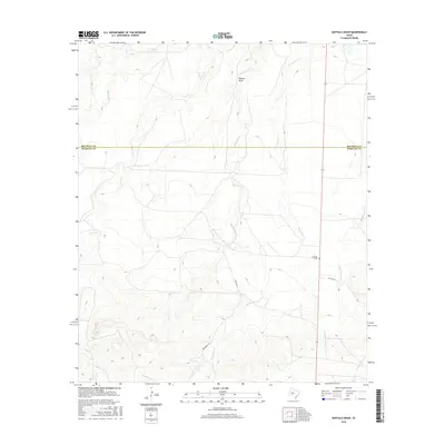
2016 Map of Buffalo Draw
USGS Topo · Published 2016About this map
Hyman Tank sits in the northern reaches of this West Texas landscape, where the high plains of Sterling County meet the drainages of the Colorado River basin. The terrain is defined by its seasonal hydrology, most notably the winding path of Mustang Cr as it cuts through the ranchlands of the Edwards Plateau. This survey illustrates the sparse, industrial-agricultural nature of the region, focusing on the essential water management features required for cattle ranching in an arid environment. The map provides a precise layout of the rural road network and localized topography that sustained the grazing economy of this part of the state during the early twenty-first century.
Find a feature on this map
2 named features on this map. Tap any name to fly to it.
Don’t see what you’re looking for? This feature index may not catch every label — zoom into the map to look around manually.
Map Details
Editions of this 2016 Buffalo Draw Map
This is the sole edition of this map. No revisions or reprints were ever made.
Other maps of this area

1954 · Big Spring
USGS Topo · 1:250,000

1954 · San Angelo
USGS Topo · 1:250,000

1958 · San Angelo
USGS Topo · 1:250,000

1958 · Big Spring
USGS Topo · 1:250,000

1959 · Spade Ranch
USGS Topo · 1:24,000

1959 · McWhorter Mountain
USGS Topo · 1:24,000

1962 · Hyman NE
USGS Topo · 1:24,000

1963 · Cumbie Draw NE
USGS Topo · 1:24,000

1963 · Buffalo Draw
USGS Topo · 1:24,000

1963 · Hayrick Mountain
USGS Topo · 1:24,000