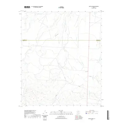
2019 Map of Buffalo Draw
USGS Topo · Published 2019About this map
Lolanthe Cem sits as a quiet landmark on the arid plains of West Texas, near where the border between Mitchell and Sterling counties divides the ranchland. This high-country landscape is defined by the ephemeral drainage systems typical of the Edwards Plateau, including the winding course of Buffalo Draw and several vital water sources like Hyman Tank. The terrain is etched with numerous creek beds such as Hackberry Cr, Forest Cr, and Dry Hollow Cr, which serve as the primary topographical features in an area otherwise characterized by steady elevation gains and sparse development. Transport through this ranching territory is facilitated by a few rural routes, including Kinnebrew Ln and several numbered county roads that follow the natural contours of the draws and ridges.
Find a feature on this map
12 named features on this map. Tap any name to fly to it.
Don’t see what you’re looking for? This feature index may not catch every label — zoom into the map to look around manually.
Map Details
Editions of this 2019 Buffalo Draw Map
This is the sole edition of this map. No revisions or reprints were ever made.
Other maps of this area

1954 · Big Spring
USGS Topo · 1:250,000

1954 · San Angelo
USGS Topo · 1:250,000

1958 · San Angelo
USGS Topo · 1:250,000

1958 · Big Spring
USGS Topo · 1:250,000

1959 · Spade Ranch
USGS Topo · 1:24,000

1959 · McWhorter Mountain
USGS Topo · 1:24,000

1962 · Hyman NE
USGS Topo · 1:24,000

1963 · Cumbie Draw NE
USGS Topo · 1:24,000

1963 · Buffalo Draw
USGS Topo · 1:24,000

1963 · Hayrick Mountain
USGS Topo · 1:24,000