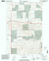
1997 Map of Buffalo Gap Campground
USGS Topo · Published 2001About this map
Little Missouri National Grassland encompasses this high plains landscape at the border of Golden Valley and Billings counties. The terrain is characterized by prominent elevations like Sentinel Butte and the narrow passage at Buffalo Gap, where transportation and ranching intersect. Local industry and land use are evident through features such as the Gravel Pit and Oil Well, while ranching legacy is marked by the Durha Ranch and Golberg Ranch.
Find a feature on this map
20 named features on this map. Tap any name to fly to it.
Don’t see what you’re looking for? This feature index may not catch every label — zoom into the map to look around manually.
Map Details
Editions of this 1997 Buffalo Gap Campground Map
This is the sole edition of this map. No revisions or reprints were ever made.
Other maps of this area

1953 · Dickinson
USGS Topo · 1:250,000

1953 · Watford City
USGS Topo · 1:250,000

1957 · Dickinson
USGS Topo · 1:250,000

1957 · Watford City
USGS Topo · 1:250,000

1967 · Watford City
USGS Topo · 1:250,000

1970 · Wannagan Creek East
USGS Topo · 1:24,000

1970 · Medora
USGS Topo · 1:24,000

1974 · West Twin Butte
USGS Topo · 1:24,000

1974 · Wannagan Creek West
USGS Topo · 1:24,000

1979 · Sentinel Butte SE
USGS Topo · 1:24,000