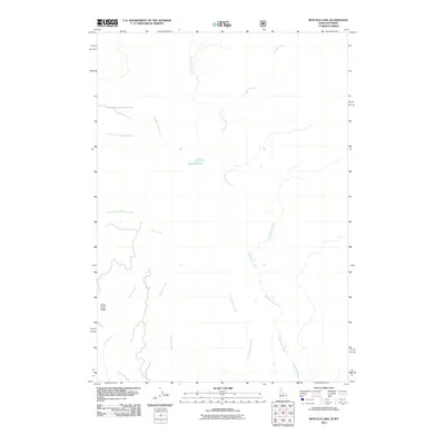
2011 Map of Buffalo Lake
USGS Topo · Published 2011About this map
Buffalo Lake serves as a quiet central point in this high-altitude landscape on the Idaho-Wyoming border. This 2011 survey illustrates a wilderness defined by its complex drainage network, where Boundary Creek and Cascade Creek flow through the eastern reaches while the headwaters of Robinson Creek and Little Robinson Creek drain the southern slopes. The topography is anchored by Snow Creek Butte in the southwest, a significant landmark overlooking the various forks of the region's mountain streams.
Find a feature on this map
11 named features on this map. Tap any name to fly to it.
Don’t see what you’re looking for? This feature index may not catch every label — zoom into the map to look around manually.
Map Details
Editions of this 2011 Buffalo Lake Map
This is the sole edition of this map. No revisions or reprints were ever made.
Other maps of this area

1886 · Shoshone
USGS Topo · 1:125,000

1888 · Shoshone
USGS Topo · 1:125,000

1895 · Shoshone
USGS Topo · 1:125,000

1901 · Shoshone
USGS Topo · 1:125,000

1908 · Shoshone
USGS Topo · 1:125,000

1911 · Shoshone
USGS Topo · 1:125,000

1955 · Ashton
USGS Topo · 1:250,000

1956 · Old Faithful
USGS Topo · 1:62,500

1956 · Grassy Lake Reservoir
USGS Topo · 1:62,500

1957 · Warm River Butte
USGS Topo · 1:62,500