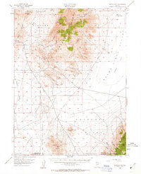
1954 Map of Buffalo Mtn
USGS Topo · Published 1963About this map
Mining operations for quicksilver and gold dominate the rugged high-desert landscape of the Humboldt Range in this mid-century survey. The western slopes are dotted with significant industrial sites, including the Nevada Quicksilver Mine, the Pershing Quicksilver Mine, and the Hollywood Mine, reflecting the mineral importance of this region to the Nevada Bureau of Mines. These remote outposts were linked to the wider world by an Airway Beacon and a network of primitive routes across the Packard Flat.
Find a feature on this map
28 named features on this map. Tap any name to fly to it.
Don’t see what you’re looking for? This feature index may not catch every label — zoom into the map to look around manually.
Map Details
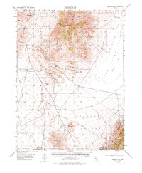
Editions of this 1954 Buffalo Mtn Map
3 editions found
Other maps of this area

1908 · Carson Sink
USGS Topo · 1:250,000

1910 · Carson Sink
USGS Topo · 1:250,000

1931 · Lovelock
USGS Topo · 1:250,000

1932 · Sonoma Range
USGS Topo · 1:250,000

1935 · Lovelock
USGS Topo · 1:250,000

1939 · Sonoma Range
USGS Topo · 1:250,000

1954 · Unionville
USGS Topo · 1:62,500

1954 · Buffalo Mtn
USGS Topo · 1:62,500

1955 · Millett
USGS Topo · 1:250,000

1955 · Lovelock
USGS Topo · 1:250,000