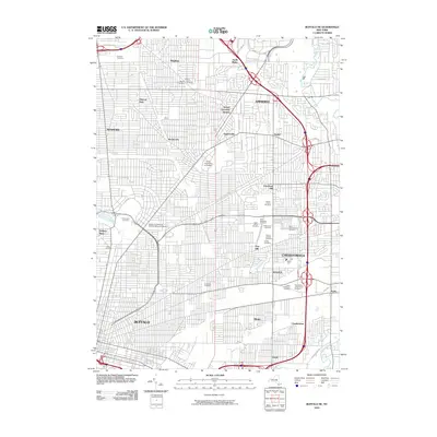
2010 Map of Buffalo NE
USGS Topo · Published 2010About this map
Cheektowaga and the eastern suburbs of Buffalo display a dense concentration of burial grounds and academic institutions in the early 21st century. This region, defined by its complex grid and transit corridors, is home to a notable cluster of religious and memorial sites including Saint Stanislaus Cemetery, Saint Adalbert's Cemetery, and Holy Sepulchre Cemetery. The landscape transitions from the urban density of Kenmore and Soldiers Place toward the academic campus of the State University at Buffalo. Waterways like Scajaquada Creek and Ellicott Creek navigate through these developed neighborhoods, while the extensive road network connects established communities such as Snyder, Eggertsville, and Sloan. This survey captures the mature suburban expansion of Erie County, where modern infrastructure meets long-standing cultural and community landmarks.
Find a feature on this map
52 named features on this map. Tap any name to fly to it.
Don’t see what you’re looking for? This feature index may not catch every label — zoom into the map to look around manually.
Map Details
Editions of this 2010 Buffalo NE Map
This is the sole edition of this map. No revisions or reprints were ever made.
Other maps of this area

1894 · Buffalo
USGS Topo · 1:62,500

1897 · Tonawanda
USGS Topo · 1:62,500

1897 · Lockport
USGS Topo · 1:62,500

1899 · Niagara
USGS Topo · 1:125,000

1900 · Tonawanda
USGS Topo · 1:62,500

1901 · Buffalo
USGS Topo · 1:62,500

1901 · Tonawanda
USGS Topo · 1:62,500

1902 · Lockport
USGS Topo · 1:62,500

1905 · Depew
USGS Topo · 1:62,500

1905 · Lockport
USGS Topo · 1:62,500