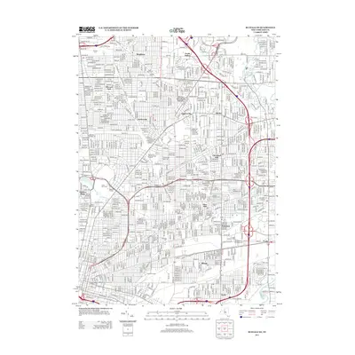
2013 Map of Buffalo NE
USGS Topo · Published 2013About this map
The urban and suburban landscape of Erie County is defined here by its dense residential networks and a massive concentration of memorial grounds. A significant cluster of cemeteries, including Mount Calvary Cem, Saint John's Cem, and Buffalo Cem, occupies a large portion of the eastern landscape near Pine Hill. To the west, the expansive grounds of Forest Lawn Cem sit near the educational campus of Medaille College.
Find a feature on this map
300 named features on this map. Tap any name to fly to it.
Don’t see what you’re looking for? This feature index may not catch every label — zoom into the map to look around manually.
Map Details
Editions of this 2013 Buffalo NE Map
This is the sole edition of this map. No revisions or reprints were ever made.
Other maps of this area
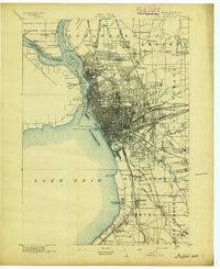
1894 · Buffalo
USGS Topo · 1:62,500
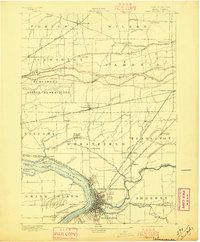
1897 · Tonawanda
USGS Topo · 1:62,500
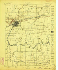
1897 · Lockport
USGS Topo · 1:62,500
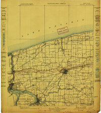
1899 · Niagara
USGS Topo · 1:125,000
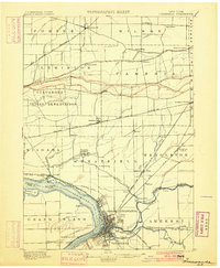
1900 · Tonawanda
USGS Topo · 1:62,500
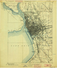
1901 · Buffalo
USGS Topo · 1:62,500
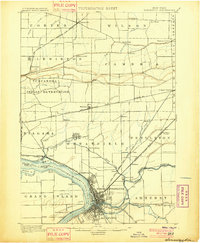
1901 · Tonawanda
USGS Topo · 1:62,500
1902 · Lockport
USGS Topo · 1:62,500
1905 · Depew
USGS Topo · 1:62,500
1905 · Lockport
USGS Topo · 1:62,500