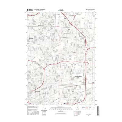
2016 Map of Buffalo NE
USGS Topo · Published 2016About this map
Buffalo and its northeastern suburbs reveal a landscape deeply influenced by educational institutions and sprawling memorial grounds in the mid-2010s. The northern reaches are dominated by the University at Buffalo and Daemen Coll, while central clusters of cemeteries like Mount Calvary Cem, Saint Stanislaus Cem, and Ridge Lawn Cem create a significant green-space corridor through Cheektowaga and Pine Hill. This urban-suburban transition is framed by major transit arteries including Sheridan Dr and Kensington Ave, which link established neighborhoods like Eggertsville, Snyder, and Williamsville. The map captures the dense residential grid of Kenmore and Tonawanda, contrasted with the industrial and rail-influenced southern districts near Sloan and Doyle. Notable watercourses such as Scajaquada Cr and Ellicott Creek thread through these developed areas, providing a natural counterpoint to the extensive road network.
Find a feature on this map
54 named features on this map. Tap any name to fly to it.
Don’t see what you’re looking for? This feature index may not catch every label — zoom into the map to look around manually.
Map Details
Editions of this 2016 Buffalo NE Map
This is the sole edition of this map. No revisions or reprints were ever made.
Other maps of this area

1894 · Buffalo
USGS Topo · 1:62,500

1897 · Tonawanda
USGS Topo · 1:62,500

1897 · Lockport
USGS Topo · 1:62,500

1899 · Niagara
USGS Topo · 1:125,000

1900 · Tonawanda
USGS Topo · 1:62,500

1901 · Buffalo
USGS Topo · 1:62,500

1901 · Tonawanda
USGS Topo · 1:62,500

1902 · Lockport
USGS Topo · 1:62,500

1905 · Depew
USGS Topo · 1:62,500

1905 · Lockport
USGS Topo · 1:62,500