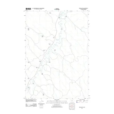
2012 Map of Buffalo NE
USGS Topo · Published 2012About this map
Clear Cr defines the central drainage of this northern Wyoming landscape, where human engineering for water management is evident through a network of irrigation channels. The presence of the Des Moines Ditch, Big Bonanza Ditch, and Redman Ditch reveals a sophisticated system designed to support ranching or agriculture in an arid environment. These ditches frequently intersect with numerous ephemeral watercourses known locally as draws, including Watt Draw and Cook Draw in the north.
Find a feature on this map
24 named features on this map. Tap any name to fly to it.
Don’t see what you’re looking for? This feature index may not catch every label — zoom into the map to look around manually.
Map Details
Editions of this 2012 Buffalo NE Map
This is the sole edition of this map. No revisions or reprints were ever made.
Other maps of this area

1900 · Fort McKinney
USGS Topo · 1:125,000

1903 · Fort McKinney
USGS Topo · 1:125,000

1909 · Sheridan
USGS Topo · 1:125,000

1911 · Sheridan
USGS Topo · 1:125,000

1955 · Sheridan
USGS Topo · 1:250,000

1958 · Sheridan
USGS Topo · 1:250,000

1962 · Sheridan
USGS Topo · 1:250,000
1970 · Buffalo
USGS Topo · 1:24,000

1970 · Buffalo NE
USGS Topo · 1:24,000
1970 · Horse Hill
USGS Topo · 1:24,000