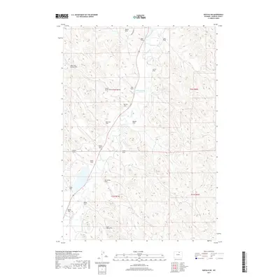
2017 Map of Buffalo NE
USGS Topo · Published 2017About this map
Clear Creek meanders through this portion of Johnson County, illustrating the vital role of water management in the Wyoming landscape. The presence of the Big Bonanza Ditch, Des Moines Ditch, and Redman Ditch reveals a sophisticated historical irrigation network designed to divert mountain runoff across the arid plains. These engineered waterways supported local ranching and agriculture, connecting various land sections such as those near Stevens Number 2 Reservoir.
Find a feature on this map
28 named features on this map. Tap any name to fly to it.
Don’t see what you’re looking for? This feature index may not catch every label — zoom into the map to look around manually.
Map Details
Editions of this 2017 Buffalo NE Map
This is the sole edition of this map. No revisions or reprints were ever made.
Other maps of this area

1900 · Fort McKinney
USGS Topo · 1:125,000

1903 · Fort McKinney
USGS Topo · 1:125,000

1909 · Sheridan
USGS Topo · 1:125,000

1911 · Sheridan
USGS Topo · 1:125,000

1955 · Sheridan
USGS Topo · 1:250,000

1958 · Sheridan
USGS Topo · 1:250,000

1962 · Sheridan
USGS Topo · 1:250,000
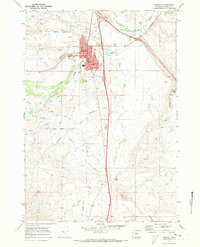
1970 · Buffalo
USGS Topo · 1:24,000

1970 · Buffalo NE
USGS Topo · 1:24,000
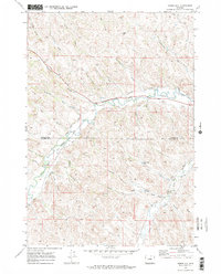
1970 · Horse Hill
USGS Topo · 1:24,000