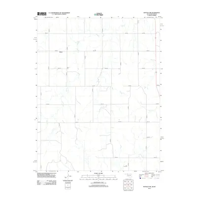
2012 Map of Buffalo NW
USGS Topo · Published 2012About this map
The settlement of Willard anchors this Harper County landscape, situated where the high plains of Oklahoma meet the Kansas border. This 2012 survey illustrates a classic section-line road network, with numbered rural routes like e0030 RD and n1860 RD providing access to the region's agricultural homesteads. The terrain is defined by the winding course of Snake Cr, which meanders south toward the Cimarron River watershed, and the smaller drainage of Willow Cr to the east. Genealogical interest is centered on the local burial grounds, specifically the Willard Cem near the town site and the Otter Creek Cem located further south. Along the eastern margin, US Highway 183 serves as the primary north-south transit corridor, connecting these rural communities to the larger region.
Find a feature on this map
21 named features on this map. Tap any name to fly to it.
Don’t see what you’re looking for? This feature index may not catch every label — zoom into the map to look around manually.
Map Details
Editions of this 2012 Buffalo NW Map
This is the sole edition of this map. No revisions or reprints were ever made.
Other maps of this area

1894 · Sitka
USGS Topo · 1:62,500

1896 · Ashland
USGS Topo · 1:125,000

1955 · Woodward
USGS Topo · 1:250,000

1955 · Pratt
USGS Topo · 1:250,000

1958 · Woodward
USGS Topo · 1:250,000

1959 · Pratt
USGS Topo · 1:250,000

1970 · Buffalo SE
USGS Topo · 1:24,000

1970 · Buffalo NW
USGS Topo · 1:24,000

1970 · Rosston NE
USGS Topo · 1:24,000

1970 · Buffalo NE
USGS Topo · 1:24,000