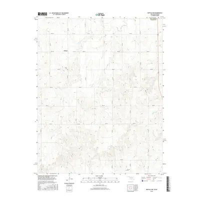
2016 Map of Buffalo NW
USGS Topo · Published 2016About this map
Willard stands at the heart of this northwestern Oklahoma landscape, situated within Harper County near the Kansas border. This rural area is defined by its drainage systems, most notably Snake Creek, which winds through the western half of the map, and Willow Creek to the east. The settlement pattern follows a rigid section-line road grid, with local history preserved at sites like Willard Cemetery and Otter Creek Cemetery. These locations, along with the numerous unnamed structures scattered along the county roads, provide a clear view of the ranching and agricultural framework of the High Plains in the twenty-first century. The presence of these small family or community burial grounds near old town sites like Willard offers valuable markers for those tracing the history of frontier ranching families in the Panhandle region.
Find a feature on this map
31 named features on this map. Tap any name to fly to it.
Don’t see what you’re looking for? This feature index may not catch every label — zoom into the map to look around manually.
Map Details
Editions of this 2016 Buffalo NW Map
This is the sole edition of this map. No revisions or reprints were ever made.
Other maps of this area

1894 · Sitka
USGS Topo · 1:62,500

1896 · Ashland
USGS Topo · 1:125,000

1955 · Woodward
USGS Topo · 1:250,000

1955 · Pratt
USGS Topo · 1:250,000

1958 · Woodward
USGS Topo · 1:250,000

1959 · Pratt
USGS Topo · 1:250,000

1970 · Buffalo SE
USGS Topo · 1:24,000

1970 · Buffalo NW
USGS Topo · 1:24,000

1970 · Rosston NE
USGS Topo · 1:24,000

1970 · Buffalo NE
USGS Topo · 1:24,000