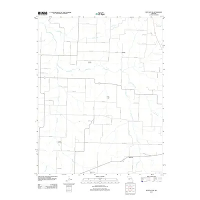
2011 Map of Buffalo NW
USGS Topo · Published 2011About this map
Breshears Cemetery and Ragsdale Cemetery anchor this landscape in Polk County, serving as vital touchstones for genealogists tracing family histories in the Missouri Ozarks. The area is defined by a dense network of waterways, where Lindley Creek and its tributary, Little Lindley Creek, meet the drainage systems of Jordan Creek and Brush Creek. Small rural centers like Mathis and Reynolds are situated along a grid of county roads, reflecting a late-twentieth-century transition toward modern infrastructure while maintaining traditional settlement patterns. Man-made water management is evident at Jensen Lake Dam and Sergent Lake Dam, showing how local hydrology was adapted for agricultural or residential use. The map illustrates a rural environment where established family names persisted into the early 21st century alongside evolving land use and water resources.
Find a feature on this map
63 named features on this map. Tap any name to fly to it.
Don’t see what you’re looking for? This feature index may not catch every label — zoom into the map to look around manually.
Map Details
Editions of this 2011 Buffalo NW Map
This is the sole edition of this map. No revisions or reprints were ever made.
Other maps of this area

1884 · Bolivar
USGS Topo · 1:125,000

1892 · Bolivar
USGS Topo · 1:125,000

1949 · Sentinel
USGS Topo · 1:24,000

1950 · Sentinel
USGS Topo · 1:24,000

1950 · Buffalo NW
USGS Topo · 1:24,000

1950 · Polk
USGS Topo · 1:24,000

1950 · Urbana
USGS Topo · 1:24,000

1951 · Buffalo NW
USGS Topo · 1:24,000

1951 · Urbana
USGS Topo · 1:24,000

1951 · Polk
USGS Topo · 1:24,000