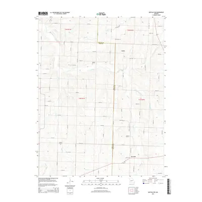
2015 Map of Buffalo NW
USGS Topo · Published 2015About this map
Lindley Creek and its various tributaries, including Jordan Cr and Brush Cr, carve a complex network of drainages across the boundary of Dallas and Polk Counties. This 2015 perspective reveals a rural landscape dominated by a grid of local roads, such as E 388th Rd and S 225th Rd, which connect the small settlements of Mathis and Reynolds. The area maintains its agricultural and residential character, with family history preserved in the Breshears Cemetery, Ragsdale Cemetery, and Reynolds Cemetery. The mapping Detail focuses on the topography of the Missouri Ozark foothills, where small clusters of homes are tucked between the creek valleys. The drainage patterns of Hominy Cr in the southwest corner further illustrate the terrain's influence on local settlement and road placement.
Find a feature on this map
70 named features on this map. Tap any name to fly to it.
Don’t see what you’re looking for? This feature index may not catch every label — zoom into the map to look around manually.
Map Details
Editions of this 2015 Buffalo NW Map
This is the sole edition of this map. No revisions or reprints were ever made.
Other maps of this area

1884 · Bolivar
USGS Topo · 1:125,000

1892 · Bolivar
USGS Topo · 1:125,000

1949 · Sentinel
USGS Topo · 1:24,000

1950 · Sentinel
USGS Topo · 1:24,000

1950 · Buffalo NW
USGS Topo · 1:24,000

1950 · Polk
USGS Topo · 1:24,000

1950 · Urbana
USGS Topo · 1:24,000

1951 · Buffalo NW
USGS Topo · 1:24,000

1951 · Urbana
USGS Topo · 1:24,000

1951 · Polk
USGS Topo · 1:24,000