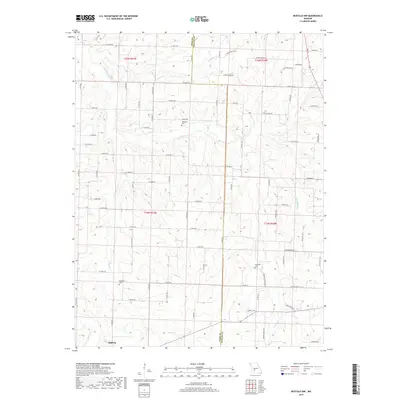
2017 Map of Buffalo NW
USGS Topo · Published 2017About this map
The community of Halfway sits at the southwestern edge of this landscape where Polk and Dallas counties meet. The terrain is defined by a dense network of tributaries, including Lindley Cr and Little Lindley Cr, which carve through the countryside toward the northern reaches of the quadrangle. This area preserves several localized burial sites that offer significant value for genealogical research, such as Breshears Cem in the north and Ragsdale Cem further south. The map reflects a predominantly rural settlement pattern, where long-standing section lines are traced by modern thoroughfares like Rice School Rd and State HWY C. These roads follow the high ground between the drainage basins of Jordan Cr and Brush Cr, documenting the enduring layout of Missouri's family farms and small rural tracts.
Find a feature on this map
74 named features on this map. Tap any name to fly to it.
Don’t see what you’re looking for? This feature index may not catch every label — zoom into the map to look around manually.
Map Details
Editions of this 2017 Buffalo NW Map
This is the sole edition of this map. No revisions or reprints were ever made.
Other maps of this area

1884 · Bolivar
USGS Topo · 1:125,000

1892 · Bolivar
USGS Topo · 1:125,000

1949 · Sentinel
USGS Topo · 1:24,000

1950 · Sentinel
USGS Topo · 1:24,000

1950 · Buffalo NW
USGS Topo · 1:24,000

1950 · Polk
USGS Topo · 1:24,000

1950 · Urbana
USGS Topo · 1:24,000

1951 · Buffalo NW
USGS Topo · 1:24,000

1951 · Urbana
USGS Topo · 1:24,000

1951 · Polk
USGS Topo · 1:24,000