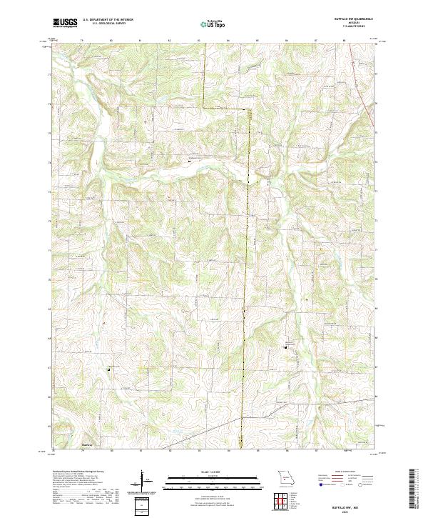
2021 Map of Buffalo NW
USGS Topo · Published 2021About this map
Halfway serves as a central hub in this agricultural landscape at the border of Polk and Dallas counties. The terrain is defined by the winding paths of Lindley Creek and its many tributaries, including Jordan Creek and Little Lindley Creek. For those tracing local history or family lineage, the map identifies several significant burial sites, such as Reynolds Chapel Cemetery, Breshears Cemetery, and Ragsdale Cemetery. The road network is heavily developed with local connectors like Rice School Road and Hollowberry Road, which cut through the drainage basins of Brush Creek and Hominy Creek. This 2021 survey illustrates the modern rural layout of Missouri's southern plains, where historical family names persist in the landscape’s landmarks and pathways.
Find a feature on this map
77 named features on this map. Tap any name to fly to it.
Don’t see what you’re looking for? This feature index may not catch every label — zoom into the map to look around manually.
Map Details
Editions of this 2021 Buffalo NW Map
This is the sole edition of this map. No revisions or reprints were ever made.
Other maps of this area

1884 · Bolivar
USGS Topo · 1:125,000

1892 · Bolivar
USGS Topo · 1:125,000

1949 · Sentinel
USGS Topo · 1:24,000

1950 · Sentinel
USGS Topo · 1:24,000

1950 · Buffalo NW
USGS Topo · 1:24,000

1950 · Polk
USGS Topo · 1:24,000

1950 · Urbana
USGS Topo · 1:24,000

1951 · Buffalo NW
USGS Topo · 1:24,000

1951 · Urbana
USGS Topo · 1:24,000

1951 · Polk
USGS Topo · 1:24,000