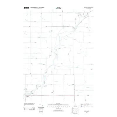
2013 Map of Buffalo
USGS Topo · Published 2013About this map
The Tippecanoe River meanders through this agricultural landscape, anchoring a network of drainage infrastructure essential to the region's productivity. Small settlements such as Pulaski, Lakeside, and Headlee serve as local hubs, connected by a rigid grid of county roads. The importance of water management is evident in the dense system of named waterways like Ackerman Ditch, Budd Fisher Ditch, and Weltzin Ditch that lace the territory between the river and the town of Buffalo. To the east, Headlee Ditch and Dickey Cr drain the flatter terrain near the White-Pulaski county line. This geography illustrates the transformation of the Indiana interior into a highly managed rural environment, where natural river bends contrast sharply with the engineered straight lines of the surrounding fields and the localized industrial footprint of the Liberty Landfill.
Find a feature on this map
77 named features on this map. Tap any name to fly to it.
Don’t see what you’re looking for? This feature index may not catch every label — zoom into the map to look around manually.
Map Details
Editions of this 2013 Buffalo Map
This is the sole edition of this map. No revisions or reprints were ever made.
Other maps of this area

1953 · Chicago
USGS Topo · 1:250,000

1953 · Danville
USGS Topo · 1:250,000

1955 · Danville
USGS Topo · 1:250,000

1956 · Danville
USGS Topo · 1:250,000

1957 · Chicago
USGS Topo · 1:250,000

1962 · Buffalo
USGS Topo · 1:24,000

1962 · Monon NE
USGS Topo · 1:24,000

1962 · Winamac
USGS Topo · 1:24,000

1962 · Star City
USGS Topo · 1:24,000

1962 · Burnettsville
USGS Topo · 1:24,000