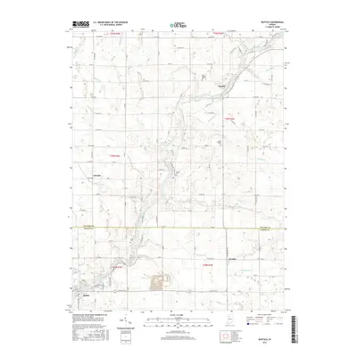
2016 Map of Buffalo
USGS Topo · Published 2016About this map
The Tippecanoe River carves a winding path through this agricultural corridor on the border of Pulaski and White counties. The landscape is defined by an extensive network of drainage infrastructure, including the Rawn Ditch, Stout Ditch, and Ackerman Ditch, which support the surrounding farmsteads. Small residential clusters like Pulaski and Buffalo serve as local anchors, while the community of Headlee sits near the eastern edge of the survey area.
Find a feature on this map
70 named features on this map. Tap any name to fly to it.
Don’t see what you’re looking for? This feature index may not catch every label — zoom into the map to look around manually.
Map Details
Editions of this 2016 Buffalo Map
This is the sole edition of this map. No revisions or reprints were ever made.
Other maps of this area

1953 · Chicago
USGS Topo · 1:250,000

1953 · Danville
USGS Topo · 1:250,000

1955 · Danville
USGS Topo · 1:250,000

1956 · Danville
USGS Topo · 1:250,000

1957 · Chicago
USGS Topo · 1:250,000

1962 · Buffalo
USGS Topo · 1:24,000

1962 · Monon NE
USGS Topo · 1:24,000

1962 · Winamac
USGS Topo · 1:24,000

1962 · Star City
USGS Topo · 1:24,000

1962 · Burnettsville
USGS Topo · 1:24,000