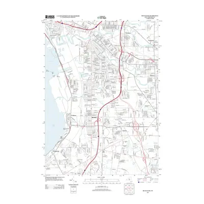
2013 Map of Buffalo SE
USGS Topo · Published 2013About this map
Blasdell and the surrounding suburban communities south of the city center define this landscape during the early 21st century. The map illustrates a dense network of residential streets and industrial corridors, particularly along the eastern shore of Lake Erie where the Ship Canal and Stony Point reflect the region's long-standing maritime and industrial identity. The infrastructure of the era is evident in the sprawling layouts of major landmarks like Ralph Wilson Stadium and South Park Stadium, alongside educational institutions such as Trocaire College.
Find a feature on this map
75 named features on this map. Tap any name to fly to it.
Don’t see what you’re looking for? This feature index may not catch every label — zoom into the map to look around manually.
Map Details
Editions of this 2013 Buffalo SE Map
This is the sole edition of this map. No revisions or reprints were ever made.
Other maps of this area

1894 · Buffalo
USGS Topo · 1:62,500

1901 · Buffalo
USGS Topo · 1:62,500

1905 · Depew
USGS Topo · 1:62,500

1905 · Eden
USGS Topo · 1:62,500

1907 · Eden
USGS Topo · 1:62,500

1925 · Springville
USGS Topo · 1:62,500

1944 · Eden
USGS Topo · 1:62,500

1944 · Hamburg
USGS Topo · 1:31,680

1948 · Hamburg
USGS Topo · 1:24,000

1948 · Depew
USGS Topo · 1:62,500