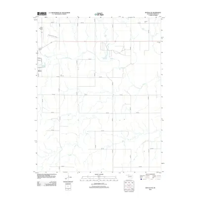
2012 Map of Buffalo SE
USGS Topo · Published 2012About this map
Buffalo and its surrounding High Plains terrain are defined by a geometric grid of rural section roads and the winding path of Buffalo Cr. This 2012 survey captures the seat of Harper County during a period of modern agricultural stability, where the landscape is dotted with local heritage sites such as High Point Cem and Goldenrod Cem. The area's infrastructure is anchored by the Buffalo Municipal Airport in the northwest, while the eastern reaches are characterized by the seasonal drainage of numerous unnamed draws feeding into the primary creek. To the northeast, the presence of Glen Lake and the Hopewell Cem marks the transition into the open range. The map reveals the meticulous township-and-range surveying that shaped Oklahoma, shown here through an extensive network of numbered roads like n1940 RD and e0140 RD.
Find a feature on this map
29 named features on this map. Tap any name to fly to it.
Don’t see what you’re looking for? This feature index may not catch every label — zoom into the map to look around manually.
Map Details
Editions of this 2012 Buffalo SE Map
This is the sole edition of this map. No revisions or reprints were ever made.
Other maps of this area

1955 · Woodward
USGS Topo · 1:250,000

1958 · Woodward
USGS Topo · 1:250,000

1970 · Buffalo SE
USGS Topo · 1:24,000

1970 · Selman NW
USGS Topo · 1:24,000

1970 · Buffalo NW
USGS Topo · 1:24,000

1970 · Buffalo NE
USGS Topo · 1:24,000

1970 · Sleeping Bear Creek NW
USGS Topo · 1:24,000

1970 · Buffalo
USGS Topo · 1:24,000

1971 · Fort Supply NW
USGS Topo · 1:24,000

1971 · Selman
USGS Topo · 1:24,000