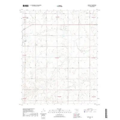
2018 Map of Buffalo SE
USGS Topo · Published 2018About this map
Buffalo and its surrounding prairie landscape are defined by a rhythmic grid of rural roads and the winding path of Buffalo Cr. This 2018 survey documents the southeastern edge of the settlement, where the municipal limits transition into vast agricultural sections. The local geography is marked by essential rural infrastructure, including the Buffalo Municipal Airport and a series of numbered reservoirs like 05908 Reservoir and 05909 Reservoir.
Find a feature on this map
39 named features on this map. Tap any name to fly to it.
Don’t see what you’re looking for? This feature index may not catch every label — zoom into the map to look around manually.
Map Details
Editions of this 2018 Buffalo SE Map
This is the sole edition of this map. No revisions or reprints were ever made.
Other maps of this area

1955 · Woodward
USGS Topo · 1:250,000

1958 · Woodward
USGS Topo · 1:250,000

1970 · Buffalo SE
USGS Topo · 1:24,000

1970 · Selman NW
USGS Topo · 1:24,000

1970 · Buffalo NW
USGS Topo · 1:24,000

1970 · Buffalo NE
USGS Topo · 1:24,000

1970 · Sleeping Bear Creek NW
USGS Topo · 1:24,000

1970 · Buffalo
USGS Topo · 1:24,000

1971 · Fort Supply NW
USGS Topo · 1:24,000

1971 · Selman
USGS Topo · 1:24,000