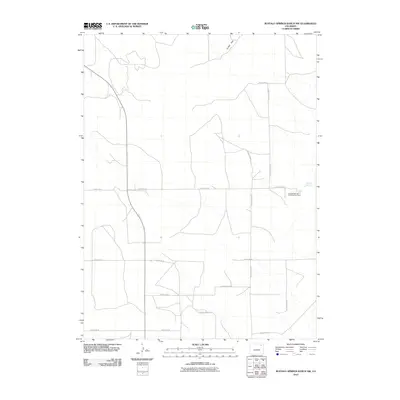
2010 Map of Buffalo Springs Ranch NW
USGS Topo · Published 2010About this map
Summit Springs Battlefield Cemetery stands as a significant historical marker in this rural corner of Logan County, denoting the site of a 1869 conflict. Located near the water source of Summit Springs, the landscape transition from the higher terrain of Jones Flat into a network of drainage ways and seasonal watercourses. The 2010 survey illustrates the rigid section-line grid of the western plains, defined here by an extensive system of rural routes such as County Road DD, County Road EE, and County Rd-60. This sparse settlement pattern reflects the modern cattle ranching and agricultural use of the high plains, where large landholdings are connected by long, straight stretches of gravel and dirt roads that intersect at precise intervals across the open range.
Find a feature on this map
15 named features on this map. Tap any name to fly to it.
Don’t see what you’re looking for? This feature index may not catch every label — zoom into the map to look around manually.
Map Details
Editions of this 2010 Buffalo Springs Ranch NW Map
This is the sole edition of this map. No revisions or reprints were ever made.
Other maps of this area

1951 · Reiradon Hill
USGS Topo · 1:24,000

1951 · Sterling South
USGS Topo · 1:24,000

1951 · Merino SE
USGS Topo · 1:24,000

1951 · Merino
USGS Topo · 1:24,000

1951 · Atwood
USGS Topo · 1:24,000

1954 · Sterling
USGS Topo · 1:250,000

1958 · Sterling
USGS Topo · 1:250,000

1971 · Merino
USGS Topo · 1:24,000

1973 · Buffalo Springs Ranch NW
USGS Topo · 1:24,000

1973 · Buffalo Springs Ranch NE
USGS Topo · 1:24,000