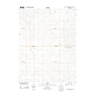
2013 Map of Buffalo Springs Ranch NW
USGS Topo · Published 2013About this map
Summit Springs and the surrounding high plains of northeastern Colorado define this landscape at the border of Logan and Washington counties. The map preserves the site of significant historical conflict, marking the Summit Springs Battlefield Cem and the Grave of Susanna Alderdice, reflecting the era of western expansion and frontier skirmishes. A grid of county roads, including CO Road 60 and the Old Akron RD, provides structure to the open terrain near Jones Flat. This modern survey uses high-resolution data to document a sparsely populated area where historical markers and ephemeral water sources like the springs remain the primary landmarks for local history and genealogy research.
Find a feature on this map
22 named features on this map. Tap any name to fly to it.
Don’t see what you’re looking for? This feature index may not catch every label — zoom into the map to look around manually.
Map Details
Editions of this 2013 Buffalo Springs Ranch NW Map
This is the sole edition of this map. No revisions or reprints were ever made.
Other maps of this area

1951 · Reiradon Hill
USGS Topo · 1:24,000

1951 · Sterling South
USGS Topo · 1:24,000

1951 · Merino SE
USGS Topo · 1:24,000

1951 · Merino
USGS Topo · 1:24,000

1951 · Atwood
USGS Topo · 1:24,000

1954 · Sterling
USGS Topo · 1:250,000

1958 · Sterling
USGS Topo · 1:250,000

1971 · Merino
USGS Topo · 1:24,000

1973 · Buffalo Springs Ranch NW
USGS Topo · 1:24,000

1973 · Buffalo Springs Ranch NE
USGS Topo · 1:24,000