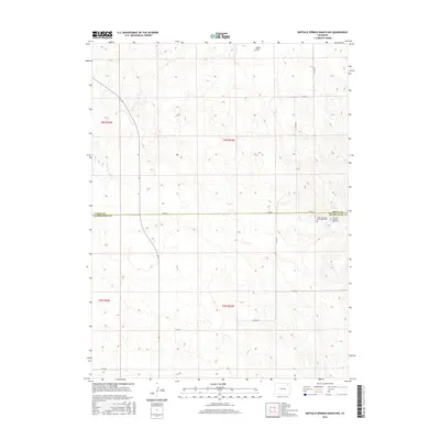
2016 Map of Buffalo Springs Ranch NW
USGS Topo · Published 2016About this map
The boundary between Logan and Washington counties divides this high plains landscape, defined by subtle topographical shifts and significant historical markers. In the northeast corner of the Washington County line, the Summit Springs Battlefield Cemetery and the Grave of Susanna Alderdice signify the area's complex history during the late 19th-century conflicts on the Central Plains. The terrain is marked by broad features like Jones Flat and the namesake Summit Springs, which likely served as a critical water source in this semi-arid region. A grid of rural roads, including Co RD 60 and Co RD Ee, provides contemporary access to the agricultural parcels that now dominate the landscape, following the early township and range divisions of T6N R52W and T5N R52W.
Find a feature on this map
19 named features on this map. Tap any name to fly to it.
Don’t see what you’re looking for? This feature index may not catch every label — zoom into the map to look around manually.
Map Details
Editions of this 2016 Buffalo Springs Ranch NW Map
This is the sole edition of this map. No revisions or reprints were ever made.
Other maps of this area

1951 · Reiradon Hill
USGS Topo · 1:24,000

1951 · Sterling South
USGS Topo · 1:24,000

1951 · Merino SE
USGS Topo · 1:24,000

1951 · Merino
USGS Topo · 1:24,000

1951 · Atwood
USGS Topo · 1:24,000

1954 · Sterling
USGS Topo · 1:250,000

1958 · Sterling
USGS Topo · 1:250,000

1971 · Merino
USGS Topo · 1:24,000

1973 · Buffalo Springs Ranch NW
USGS Topo · 1:24,000

1973 · Buffalo Springs Ranch NE
USGS Topo · 1:24,000