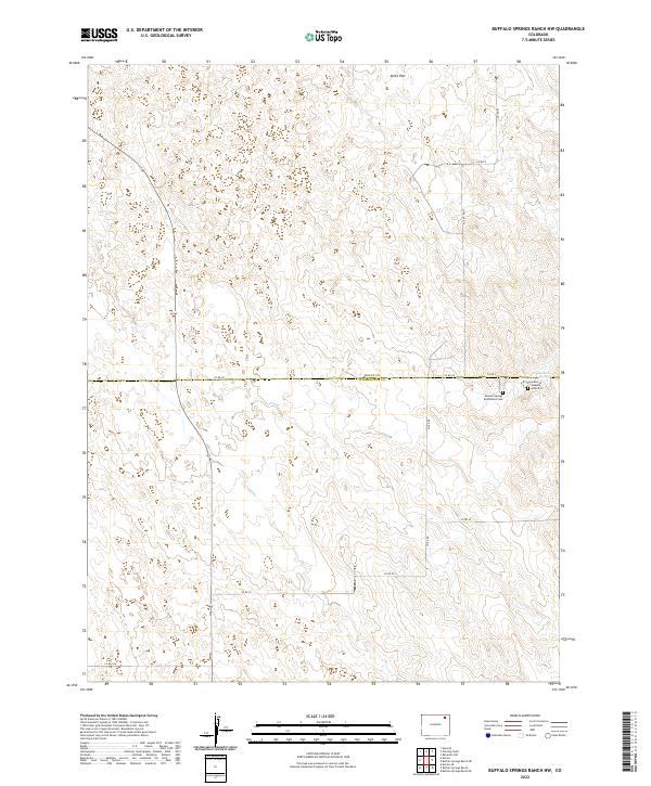
2022 Map of Buffalo Springs Ranch NW
USGS Topo · Published 2022About this map
Summit Springs Battlefield Cem and the nearby Grave of Susanna Alderdice mark a site of significant conflict along the high plains of Northeast Colorado. This 2022 survey details the remote boundary where Logan and Washington counties meet, a landscape defined by expansive plateaus and dry drainages. The topography is anchored by Jones Flat to the north and the vital water source of Summit Springs to the south. Historically significant as the location of the 1869 battle between the U.S. Army and the Cheyenne Dog Soldiers, the area remains largely undeveloped today, crisscrossed by a grid of rural county roads such as Co RD 60 and Co RD 45 51/10 that trace the original sections of the Public Land Survey System.
Find a feature on this map
19 named features on this map. Tap any name to fly to it.
Don’t see what you’re looking for? This feature index may not catch every label — zoom into the map to look around manually.
Map Details
Editions of this 2022 Buffalo Springs Ranch NW Map
This is the sole edition of this map. No revisions or reprints were ever made.
Other maps of this area

1951 · Reiradon Hill
USGS Topo · 1:24,000

1951 · Sterling South
USGS Topo · 1:24,000

1951 · Merino SE
USGS Topo · 1:24,000

1951 · Merino
USGS Topo · 1:24,000

1951 · Atwood
USGS Topo · 1:24,000

1954 · Sterling
USGS Topo · 1:250,000

1958 · Sterling
USGS Topo · 1:250,000

1971 · Merino
USGS Topo · 1:24,000

1973 · Buffalo Springs Ranch NW
USGS Topo · 1:24,000

1973 · Buffalo Springs Ranch NE
USGS Topo · 1:24,000