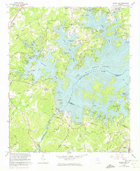
1964 Map of Buford Dam
USGS Topo · Published 1974About this map
Lake Sidney Lanier dominates this mid-1960s landscape, illustrating the profound transformation of the Chattahoochee River valley following the construction of the Buford Dam. The rising waters of the reservoir created a complex shoreline of deep inlets and peninsulas, visible here as they replaced the previous river-bottom terrain. On the western edge, the town of Cumming serves as a fixed point of reference against the newly established recreational and utility infrastructure, including the West Bank Public Use Area and the Lanier Golf Course. Numerous community landmarks remain, such as Antioch Ch and Shoal Creek Ch, alongside family-named routes like Jimmy Dodd Road and Nuckols Road. The map provides a detailed view of the U S Reservation boundaries and the submerged courses of creeks like Young Deer Creek and Sixmile Creek that now form the fingers of the lake.
Find a feature on this map
74 named features on this map. Tap any name to fly to it.
Don’t see what you’re looking for? This feature index may not catch every label — zoom into the map to look around manually.
Map Details
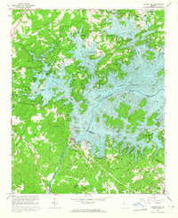
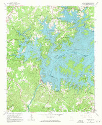
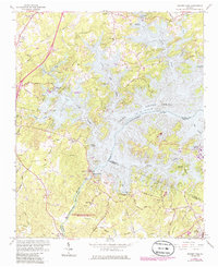
Editions of this 1964 Buford Dam Map
4 editions found
Other maps of this area

1890 · Suwanee
USGS Topo · 1:125,000

1891 · Gainesville
USGS Topo · 1:125,000

1894 · Suwanee
USGS Topo · 1:125,000

1954 · Greenville
USGS Topo · 1:250,000

1955 · Rome
USGS Topo · 1:250,000

1956 · Duluth
USGS Topo · 1:24,000

1958 · Greenville
USGS Topo · 1:250,000

1958 · Rome
USGS Topo · 1:250,000

1961 · Rome
USGS Topo · 1:250,000

1963 · Rome
USGS Topo · 1:250,000