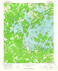
1964 Map of Buford Dam
USGS Topo · Published 1965About this map
Buford Dam anchors this mid-century landscape where the Chattahoochee River meets the expanding waters of Lake Sidney Lanier. The map documents the transformative impact of the reservoir on Forsyth County, showing how rising water levels reshaped the local drainage basins of Baldridge Creek and Young Deer Creek. While the reservoir introduced modern recreation sites like Mary Alice Park and the Baldridge Marina, the surrounding uplands retain many older rural markers.
Find a feature on this map
66 named features on this map. Tap any name to fly to it.
Don’t see what you’re looking for? This feature index may not catch every label — zoom into the map to look around manually.
Map Details
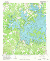
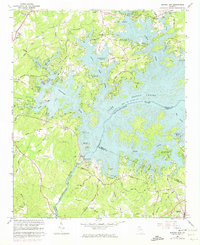
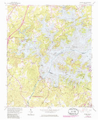
Editions of this 1964 Buford Dam Map
4 editions found
Other maps of this area

1890 · Suwanee
USGS Topo · 1:125,000

1891 · Gainesville
USGS Topo · 1:125,000

1894 · Suwanee
USGS Topo · 1:125,000

1954 · Greenville
USGS Topo · 1:250,000

1955 · Rome
USGS Topo · 1:250,000

1956 · Duluth
USGS Topo · 1:24,000

1958 · Greenville
USGS Topo · 1:250,000

1958 · Rome
USGS Topo · 1:250,000

1961 · Rome
USGS Topo · 1:250,000

1963 · Rome
USGS Topo · 1:250,000