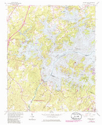
1964 Map of Buford Dam
USGS Topo · Published 1986About this map
Buford Dam anchors this landscape where the Chattahoochee River meets the expansive southern reaches of Lake Sidney Lanier. This survey shows the region as it transitioned into a major recreational and hydroelectric hub, with numerous campsites like Sawnee Campground and Charleston Campground lining the indented shoreline. The map preserves traces of the area's rural foundations before the reservoir's full development, including family-named landmarks and old routes like Shadburn Ferry Road. Along the fingers of the lake, local community centers like Shady Grove Church and Ebenezer Church remain as historical anchors. South of the dam, the river flows past Bowmans Island into what is now the Chattahoochee River National Recreation Area, maintaining a more riverine character near the town of Buford.
Find a feature on this map
87 named features on this map. Tap any name to fly to it.
Don’t see what you’re looking for? This feature index may not catch every label — zoom into the map to look around manually.
Map Details
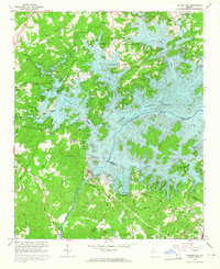
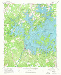
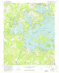
Editions of this 1964 Buford Dam Map
4 editions found
Other maps of this area

1890 · Suwanee
USGS Topo · 1:125,000

1891 · Gainesville
USGS Topo · 1:125,000

1894 · Suwanee
USGS Topo · 1:125,000

1954 · Greenville
USGS Topo · 1:250,000

1955 · Rome
USGS Topo · 1:250,000

1956 · Duluth
USGS Topo · 1:24,000

1958 · Greenville
USGS Topo · 1:250,000

1958 · Rome
USGS Topo · 1:250,000

1961 · Rome
USGS Topo · 1:250,000

1963 · Rome
USGS Topo · 1:250,000