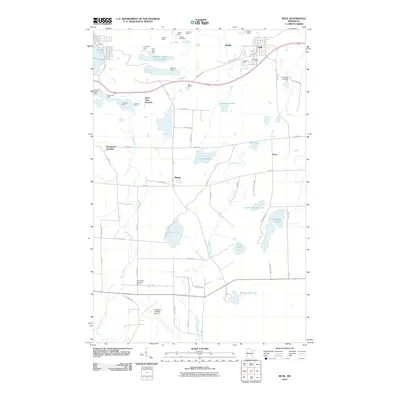
2010 Map of Buhl
USGS Topo · Published 2010About this map
Industrial excavations and numerous iron mines define the landscape around Buhl and Grant in this 2010 study of the Mesabi Range. The northern half of the quadrangle is heavily marked by mining infrastructure, including the Sherman Group Tailings Basin, Elbern Mine, and the Dunwoody Mine. These massive earth-moving operations sit in stark contrast to the scattered residential clusters at Wilpen and Scott, and the transportation hubs of Saint Clair Junction and Dunwoody Junction.
Find a feature on this map
70 named features on this map. Tap any name to fly to it.
Don’t see what you’re looking for? This feature index may not catch every label — zoom into the map to look around manually.
Map Details
Editions of this 2010 Buhl Map
This is the sole edition of this map. No revisions or reprints were ever made.
Other maps of this area

1951 · Kinney
USGS Topo · 1:24,000

1951 · Kirk
USGS Topo · 1:24,000

1951 · Hibbing
USGS Topo · 1:24,000

1951 · Casco
USGS Topo · 1:24,000

1951 · Buhl
USGS Topo · 1:24,000

1952 · Riley
USGS Topo · 1:24,000

1952 · Little Swan
USGS Topo · 1:24,000

1954 · Hibbing
USGS Topo · 1:250,000

1955 · Dewey Lake SE
USGS Topo · 1:24,000

1955 · Dewey Lake
USGS Topo · 1:24,000