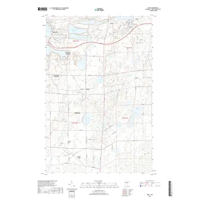
2019 Map of Buhl
USGS Topo · Published 2019About this map
The iron mining legacy of the Mesabi Range is visible in this landscape between Hibbing and Buhl. In the north, the massive Sherman Group Tailings Basin sits adjacent to Chisholm and Longyear Lake, illustrating the significant earth-moving operations that have long defined this part of Saint Louis County. While large-scale mining footprints dominate the northern sections, the southern portion of the sheet transitions into a dense network of wetlands and small lakes, including Sixmile Lake, Carey Lake, and McQuade Lake. Local transportation and recreation are represented by the Range Regional Airport and the Mesabi Trail Walking Path, which winds through the area. Scattered settlements like Wilpen and Scott provide local context for researchers tracing the development of these small industrial and residential communities outside the larger regional hubs.
Find a feature on this map
80 named features on this map. Tap any name to fly to it.
Don’t see what you’re looking for? This feature index may not catch every label — zoom into the map to look around manually.
Map Details
Editions of this 2019 Buhl Map
This is the sole edition of this map. No revisions or reprints were ever made.
Other maps of this area

1951 · Kinney
USGS Topo · 1:24,000

1951 · Kirk
USGS Topo · 1:24,000

1951 · Hibbing
USGS Topo · 1:24,000

1951 · Casco
USGS Topo · 1:24,000

1951 · Buhl
USGS Topo · 1:24,000

1952 · Riley
USGS Topo · 1:24,000

1952 · Little Swan
USGS Topo · 1:24,000

1954 · Hibbing
USGS Topo · 1:250,000

1955 · Dewey Lake SE
USGS Topo · 1:24,000

1955 · Dewey Lake
USGS Topo · 1:24,000