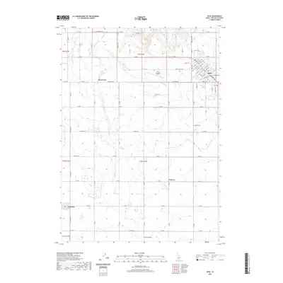
2020 Map of Buhl
USGS Topo · Published 2020About this map
Buhl serves as the primary urban center for this agricultural landscape, situated in the northeast corner of the quadrangle. The town's grid is characterized by named thoroughfares like Main St and Broadway Ave N, reflecting its role as a regional hub for Twin Falls County. To the west, the smaller settlements of Fairview and Castleford are connected by a network of rural roads such as E 3600 N and Lily Grade Rd.
Find a feature on this map
61 named features on this map. Tap any name to fly to it.
Don’t see what you’re looking for? This feature index may not catch every label — zoom into the map to look around manually.
Map Details
Editions of this 2020 Buhl Map
This is the sole edition of this map. No revisions or reprints were ever made.
Other maps of this area

1949 · Thousand Springs
USGS Topo · 1:24,000

1950 · Niagara Springs
USGS Topo · 1:24,000

1950 · Jerome
USGS Topo · 1:62,500

1951 · Thousand Springs
USGS Topo · 1:24,000

1951 · Clover
USGS Topo · 1:24,000

1954 · Thousand Springs
USGS Topo · 1:24,000

1955 · Twin Falls
USGS Topo · 1:250,000

1958 · Twin Falls
USGS Topo · 1:250,000

1958 · Buhl
USGS Topo · 1:24,000

1959 · Buhl
USGS Topo · 1:62,500