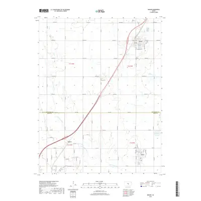
2018 Map of Buhler
USGS Topo · Published 2018About this map
The Little Arkansas River meanders through the heart of this central Kansas landscape, marking the transition between the agricultural plains of McPherson Co and Reno Co. The settlement pattern is anchored by the established communities of Inman, Buhler, and Medora, each showing a structured layout of residential streets like S Main St and Farmington Rd. This 2018 survey reveals a territory where local history is preserved in its many cemeteries, including Inman North Cem, Inman South Cem, and the Evergreen Cem located along 6th Ave. The map also captures the distinct hydrography of the region, featuring Dirks Lake, Wolf Cr, and the geological curiosity of the Little Sinkhole to the east of the main river valley. Large-scale farming operations are supported by a dense grid of section roads such as Arapaho Rd and Apache Rd, which crisscross the prairie landscape.
Find a feature on this map
66 named features on this map. Tap any name to fly to it.
Don’t see what you’re looking for? This feature index may not catch every label — zoom into the map to look around manually.
Map Details
Editions of this 2018 Buhler Map
This is the sole edition of this map. No revisions or reprints were ever made.
Other maps of this area

1891 · Hutchinson
USGS Topo · 1:125,000

1893 · Hutchinson
USGS Topo · 1:125,000

1955 · Hutchinson
USGS Topo · 1:250,000

1959 · Hutchinson
USGS Topo · 1:250,000
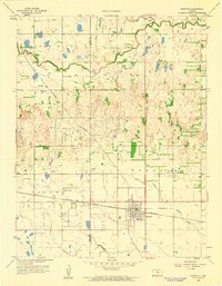
1959 · Burrton
USGS Topo · 1:24,000
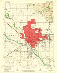
1960 · Hutchinson
USGS Topo · 1:24,000
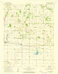
1961 · Hutchinson SE
USGS Topo · 1:24,000

1964 · Windom SW
USGS Topo · 1:24,000

1964 · Conway
USGS Topo · 1:24,000

1965 · Mc Pherson South
USGS Topo · 1:24,000