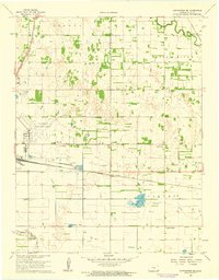
1961 Map of Hutchinson SE
USGS Topo · Published 1962About this map
The Little Arkansas River winds through the northeast corner of this Reno County landscape, where the agricultural grid is defined by a dense network of major railroads. The mid-century transportation corridor is anchored by the Atchison Topeka and Santa Fe and the Chicago Rock Island and Pacific, supporting small transit points and settlements like Obeeville and Kent. The era's local infrastructure is clearly visible, featuring the Hutchinson Municipal Airport, a prominent Drive-in Theater, and the Radio Tower (KTVH-TV). Scattered across the townships of Medora, Clay, and Valley, the map shows numerous Oil Wells and a Mine, indicating the industrial diversity of the Kansas plains. Smaller community landmarks such as Bethany Ch and the rural crossroads of Punkin Center provide specific points of interest for those tracing family history in the region.
Find a feature on this map
22 named features on this map. Tap any name to fly to it.
Don’t see what you’re looking for? This feature index may not catch every label — zoom into the map to look around manually.
Map Details
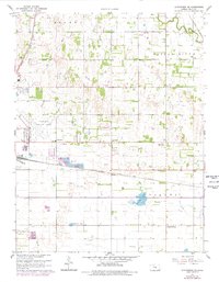
Editions of this 1961 Hutchinson SE Map
2 editions found
Other maps of this area

1889 · Cheney
USGS Topo · 1:125,000

1891 · Hutchinson
USGS Topo · 1:125,000

1891 · Cheney
USGS Topo · 1:125,000

1893 · Hutchinson
USGS Topo · 1:125,000

1901 · Cheney
USGS Topo · 1:125,000

1955 · Wichita
USGS Topo · 1:250,000

1955 · Hutchinson
USGS Topo · 1:250,000

1958 · Wichita
USGS Topo · 1:250,000

1958 · Patterson
USGS Topo · 1:24,000

1959 · Hutchinson
USGS Topo · 1:250,000